B bdhungana2023 New member Aug 23, 2023 #1 I am working on Environmental justice for hazard such as floods. How can we use EO data for that purpose?
I am working on Environmental justice for hazard such as floods. How can we use EO data for that purpose?
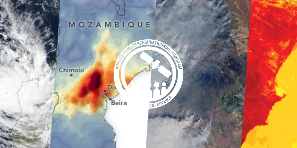
Jenny Bratburd Moderator Staff member Aug 23, 2023 #2 This forum and HAQAST is generally centered around air quality issues, but I would recommend checking out the ARSET training on Monitoring and Modeling Floods using Earth Observations. There is also a NASA Data Pathfinder on data for disasters including floods: https://www.earthdata.nasa.gov/learn/pathfinders/disasters/floods-data-pathfinder Upvote 0 Downvote
This forum and HAQAST is generally centered around air quality issues, but I would recommend checking out the ARSET training on Monitoring and Modeling Floods using Earth Observations. There is also a NASA Data Pathfinder on data for disasters including floods: https://www.earthdata.nasa.gov/learn/pathfinders/disasters/floods-data-pathfinder
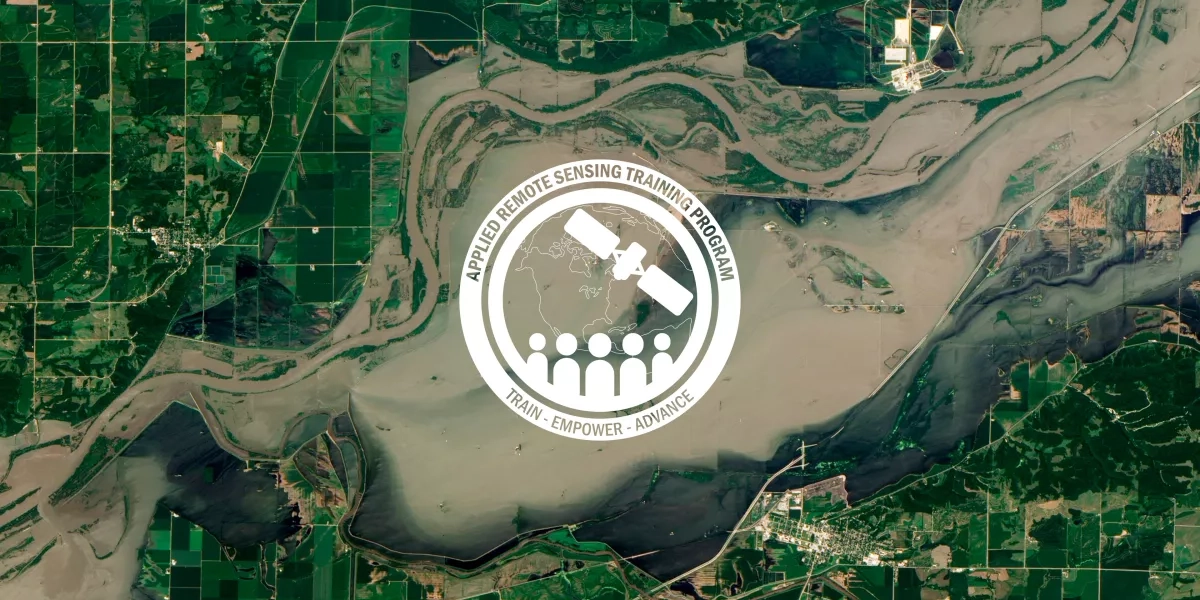
elizabethrjoyner New member Sep 6, 2023 #3 bdhungana2023 said: I am working on Environmental justice for hazard such as floods. How can we use EO data for that purpose? Click to expand... Check out these ARSET trainings specifically to floods: Earth Observations for Disaster Risk Assessment & Resilience ARSET - Earth Observations for Disaster Risk Assessment & Resilience | NASA Applied Sciences appliedsciences.nasa.gov Monitoring and Modeling Floods using Earth Observations ARSET - Monitoring and Modeling Floods using Earth Observations | NASA Applied Sciences appliedsciences.nasa.gov Disaster Assessment Using Synthetic Aperture Radar ARSET - Disaster Assessment Using Synthetic Aperture Radar | NASA Applied Sciences appliedsciences.nasa.gov SAR for Disasters and Hydrological Applications ARSET - SAR for Disasters and Hydrological Applications | NASA Applied Sciences appliedsciences.nasa.gov Satellite Observations for Analyzing Natural Hazards on Small Island Nations ARSET - Satellite Observations for Analyzing Natural Hazards on Small Island Nations | NASA Applied Sciences appliedsciences.nasa.gov Radar Remote Sensing for Land, Water, & Disaster Applications ARSET - Radar Remote Sensing for Land, Water, & Disaster Applications | NASA Applied Sciences appliedsciences.nasa.gov Monitoring Urban Floods Using Remote Sensing ARSET - Monitoring Urban Floods Using Remote Sensing | NASA Applied Sciences appliedsciences.nasa.gov Upvote 0 Downvote
bdhungana2023 said: I am working on Environmental justice for hazard such as floods. How can we use EO data for that purpose? Click to expand... Check out these ARSET trainings specifically to floods: Earth Observations for Disaster Risk Assessment & Resilience ARSET - Earth Observations for Disaster Risk Assessment & Resilience | NASA Applied Sciences appliedsciences.nasa.gov Monitoring and Modeling Floods using Earth Observations ARSET - Monitoring and Modeling Floods using Earth Observations | NASA Applied Sciences appliedsciences.nasa.gov Disaster Assessment Using Synthetic Aperture Radar ARSET - Disaster Assessment Using Synthetic Aperture Radar | NASA Applied Sciences appliedsciences.nasa.gov SAR for Disasters and Hydrological Applications ARSET - SAR for Disasters and Hydrological Applications | NASA Applied Sciences appliedsciences.nasa.gov Satellite Observations for Analyzing Natural Hazards on Small Island Nations ARSET - Satellite Observations for Analyzing Natural Hazards on Small Island Nations | NASA Applied Sciences appliedsciences.nasa.gov Radar Remote Sensing for Land, Water, & Disaster Applications ARSET - Radar Remote Sensing for Land, Water, & Disaster Applications | NASA Applied Sciences appliedsciences.nasa.gov Monitoring Urban Floods Using Remote Sensing ARSET - Monitoring Urban Floods Using Remote Sensing | NASA Applied Sciences appliedsciences.nasa.gov